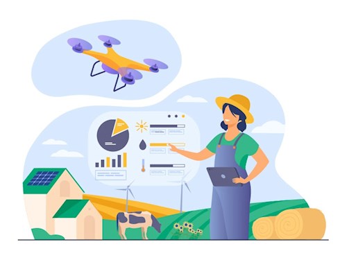
Remote Sensing in Agriculture
The use of remote sensing technologies has changed the way we monitor and manage farmland. Farmers and researchers now have access to information about crop growth and soil health that was previously difficult or impossible to obtain, thanks to the capacity to collect data from satellites, drones, and other aerial platforms. In this blog post, we will look at some of the most important remote sensing applications in agriculture.
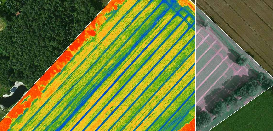
Crop monitoring is one of the most important uses of remote sensing in agriculture. Farmers can better understand the health and yield of their crops by collecting data on crop growth using satellites and drones. This information can be used to detect pests and diseases, as well as improve irrigation and fertilization processes.
Soil analysis is another important use of remote sensing in agriculture. Farmers can better understand the health and production of their soil by using sensors to collect data on soil moisture, temperature, and nutrient levels. This data can be used to identify areas of soil erosion and degradation, as well as to improve irrigation and fertilization operations.
Remote sensing technology is also used in agriculture to monitor and manage water resources. Farmers and scholars can better understand the availability and distribution of water in agricultural regions by using sensors to collect data on water levels, flow rates, and quality. This data can be used to improve irrigation methods, identify water-stressed areas and plan future water management.
Finally, remote sensing technology is used in agricultural regions to monitor and manage animals and biodiversity. By using sensors to collect data on animal numbers and habitat, farmers and academics can better understand the consequences of agriculture on wildlife and biodiversity. This data can be used to create conservation plans and protect critical animal habitats. Remote sensing technology has changed the way we monitor and manage farmland.
Farmers and researchers now have access to information about crop growth and soil health that was previously difficult or impossible to obtain, thanks to the capacity to collect data from satellites, drones, and other aerial platforms. This data can be used to improve farming methods while protecting the environment.