Super resolution and Farm Boundary Detection
Field Border Detection and Super Resolution
With the capabilities offered by the AgroWorks agricultural artificial intelligence platform, you can enjoy automatic field boundary detection using low-resolution satellite images.
You can check out our blog post to learn more about what super resolution is.
Thanks to our multidimensional super-resolution algorithm that makes it possible to refine low-resolution satellite images, you can refine your analysis activities with 1m super-resolution images covering multispectral bands without incurring high-resolution image costs..
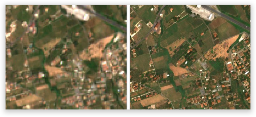
Converting Low Resolution Image to Super Resolution (Before and After Processing)
Our super-resolution algorithm basically increases the resolution of low-resolution images, providing a more detailed satellite image. In this way, you can perform operations such as field border detection, product pattern determination, field tracking and yield estimation without manual intervention.
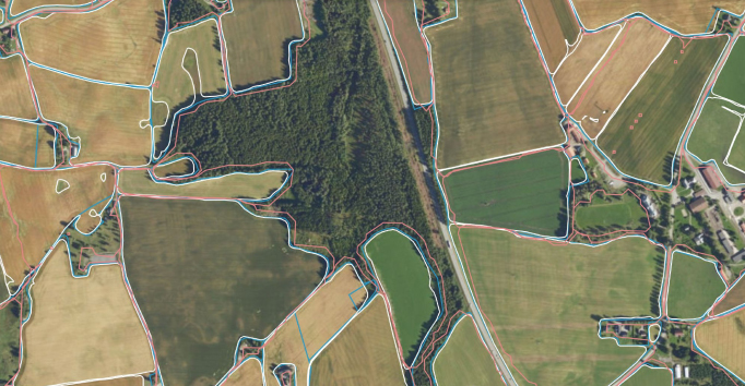
Field boundary determination application applied after conversion to super resolution
In addition to basic usage areas such as crop pattern detection and yield estimation, our field boundary detection and super resolution services are widely used in the following agricultural activities:
Crop Mapping: Defined field boundaries and super-resolution multispectral images are used to create detailed agricultural maps that can be used to track crop growth and monitor crop health. This information is extremely useful for making informed decisions about preventive interventions and optimizing production.
Precision Agriculture: Farmers and agricultural businesses with accurate farm boundary information and precise multispectral derivative analyses; can apply precision farming techniques to optimize crop yields and reduce the use of inputs such as water, fertilizer and pesticides.
Farming: Farm boundaries can be used to monitor the movement of livestock and ensure they do not overgraze or move outside designated areas.
Land Management: Farm boundaries can be used to manage and plan land use, including crop rotation, conservation practices and land use change.
Agricultural Insurance : Accurate limits can be used to make crop insurance claims more efficient and accurate.
In summary, farm boundaries detected by Agroworks can be used in a wide variety of applications to improve agricultural production, planning, monitoring and management.
In addition to the uses mentioned above, super-resolution images created by Agroworks can also be used for variable rate applications (VRA). VRA allows farmers to apply inputs such as seeds, fertilizers and pesticides at different rates across the field based on the specific needs of crops in that area.
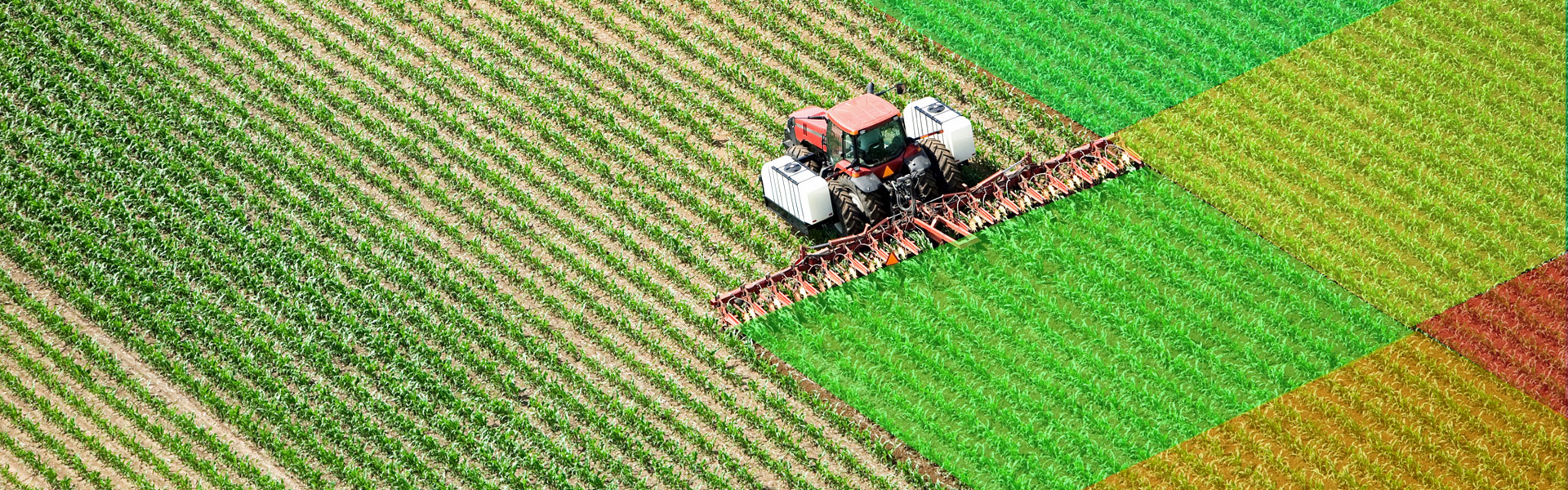
Field Spraying with Variable Rate Application (VRA) Techniques
Our super-resolution images can be used for VRA in several ways:
Determining product health: High resolution images can be used to identify crop health issues and target specific areas for crop intervention.
Identifying soil variations: Super-resolution images can be used to identify soil variations in the field, which can be used to optimize crop yields by applying different rates of inputs in different areas.
Identifying topography variations: Super-resolution images can be used to identify variations in topography such as slope, aspect and elevation, which can be used to optimize crop yields by applying different rates of inputs in different areas.
Identifying weeds, pests or disease outbreaks: Super-resolution images can be used to identify weeds, pests or disease outbreaks in a specific area and target them with the right treatment.